Drones and Ham Radio. Bob Schatzman KD9AAD
|
|
|
- Meagan Harris
- 5 years ago
- Views:
Transcription


1 Drones and Ham Radio Bob Schatzman KD9AAD
2 Not Your Childhood RC Toy! Highly Accurate GPS receiver! Magnetic Compass! R/C Transmitter/Receiver! Accelerometers/Gyros! HDTV & HQ Still Camera on a Smart Gimbal! Video and Telemetry Transmitter

3 Terminology! Drone = UAV (Unmanned Aerial Vehicle)! Fixed Wing vs. Rotary Wing! Intelligent and Programmable vs. Traditional R/C Craft! FPV, RTH, RTF, NAZA, Gimbal

4 Rules! Non Commercial Kind of! 400 Ceiling! Airports/Stadiums/Crowds Restricted! Beyond That Lots of Gray Area! Don t be a Jerk
5 Communications Uses! Hams have hoisted ropes for antennas! A flying repeater in a fixed wing UAV craft has been tested to provide HTs a 150 mile LOS range.! Flying repeaters could provide near instant, wide area communications for Forest Firefighting, Disaster Relief, Search and Rescue etc.! This could be of interest to ARES teams. Two alternating craft (battery changes) could provide round the clock communications.! Internet Access to remote or disaster stricken areas
6 Military! Replacing Satellite Imagery in some cases. Much higher resolution. Cheaper, quick to change coverage area. Hover capability.! Mobile weapons platform. Controversial, but safer than pilots. Hover capability for hours or days. Targeting for other aircraft and missiles.
7 Other Uses! Disaster Relief Deliver RX, Damage Assessment, Search & Rescue! Research Volcano Research, Tracking Salmon Spawns, Wildlife Counts, Risk Analysis, Archaeological Survey! Sensors Water Quality, Radiation, Biological, IR! Livestock Monitoring, Wildfire Mapping, Pipeline Security, Anti Piracy! Filming of 2014 Winter Olympics - Skiing and Snowboarding events

8 Future Potential! Consumer Deliveries Amazon & TacoCopter unlikely! Atmospheric Research 60k feet and above. Solar powered for 5 years.! Autonomous functions, including combat! Your ideas?


9 So What does this have to do with Ham Radio?! Lots of RF in these UAVs! GPS! Control, FPV, Telemetry, Sensors are typically in unlicensed 2.4GHz and 5.8 GHz bands shared with WiFi! Off the shelf units use manufacturer antennas, but DIY builders buy and make higher gain and directional antennas as well as RF amps

10 Did He Say Antennas?


11 Circular Polarized & Directional Just like radio, lots of opinions and lots of options.


12 Think About What s Happening The bird is moving, turning, but you can point your TX at the craft. First upgrade - Directional on the TX, Circular Omni on the aircraft.
13 How to Start! It s Like Ham Radio you can go cheap or get a second mortgage! Inexpensive units (under $100) are very small, no camera, no GPS assistance in hovering, flight! They are harder to fly, but cause fewer tears when you crash or lose it! You WILL crash or lose one, probably in the first week


14 Entry Level Toys - RTF! Typically Small or Micro sensitive to wind! No GPS Can be flown indoors, once you get the hang of it, but offer no hover assist! Very basic transmitter! No camera, or a crummy one! SYMA X1, Hubsan X4, under $100

15 Hubsan X4 - $50
16 Mid Level (Enthusiasts)! Many choices in the $ price point! These typically include GPS, Camera with Gimbal, or Gimbal for your GoPro! Better range, FPV, telemetry, much easier to fly! RTF - Ready to Fly, few tweaks beyond calibration needed! DJI Phantom and Phantom 2, ARDrone Parrot! RTH Return to Home feature - Lifesaver

17 DJI Phantom - $
18 Professional! Carbon Fiber with 4 sometimes 6 or 8 rotors add stability, redundancy, and much higher payload capacity including large SLR Cameras! Electronics, Antennas are better, better TX and RX for distance! $3,000 15,000 Wait for tech to filter down

19 Cinestar-8 MK Heavy Lift - $8000 Base
20 FAQs! What if I lose Signal? Backup Plan?! Can I control the Camera, Gimbal?! How Far, High, Fast can I go?! Can I do Tricks?! How much does it cost?

21 My Advice! Consider your budget, now triple it! If unsure, or have no R/C experience get a Hubsan or Syma for under $75! Experience includes crying over lost/destroyed craft! If you are having fun and yearn for more, look at DJI s Phantom 2 line next, or consider building! Use common sense, like kites, model rockets, shooting, know your area, away from people and expensive things
22 Links! Great introduction: tinyurl.com/droneintro1! DJI Phantom Users: Builders Intermediate/Advanced: diydrones.com/! Humanitarian/Disaster: uaviators.org/introduction! Hams-ARES: tinyurl.com/aresdrones! Beautiful Footage Milwaukee: tinyurl.com/milwaukeeflight
23 Eye Candy
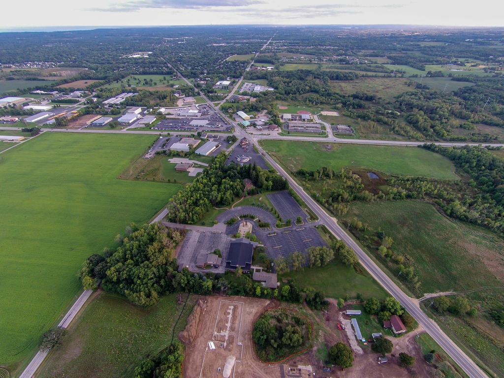
24
25
26
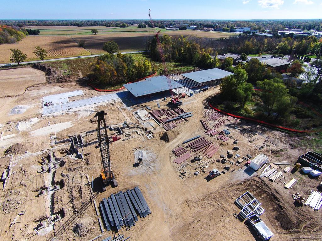
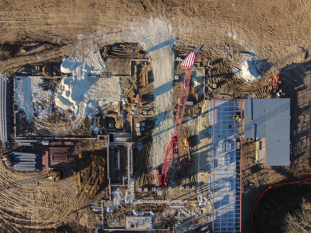
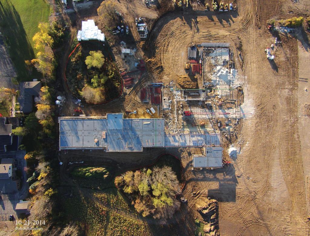
27
Air Surveillance Drones. ENSC 305/440 Capstone Project Spring 2014
 Air Surveillance Drones ENSC 305/440 Capstone Project Spring 2014 Group Members: Armin Samadanian Chief Executive Officer Juan Carlos Diaz Lead Technician and Test Pilot Afshin Nikzat Lead Financial Planner
Augmented Reality and Unmanned Aerial Vehicle Assist in Construction Management
 1570 Augmented Reality and Unmanned Aerial Vehicle Assist in Construction Management Ming-Chang Wen 1 and Shih-Chung Kang 2 1 Department of Civil Engineering, National Taiwan University, email: r02521609@ntu.edu.tw
DJI Corporate Purchase Buying Guides
 DJI Corporate Purchase Buying Guides First Choice for Aerial Photography Infinite Possibilities for Limited Budgets Launch Date: May 2017 Launch Date: January 2018 Launch Date: September 2017 Individual
Brian Arnall Precision Nutrient Management Oklahoma State University
 A Down to Earth Look at UAVs in Agriculture Brian Arnall Precision Nutrient Management Oklahoma State University Ok State has provided cease and desist. I have not flown one. I am very familiar with their
Mapping with the Phantom 4 Advanced & Pix4Dcapture Jerry Davis, Institute for Geographic Information Science, San Francisco State University
 Mapping with the Phantom 4 Advanced & Pix4Dcapture Jerry Davis, Institute for Geographic Information Science, San Francisco State University The DJI Phantom 4 is a popular, easy to fly UAS that integrates
Free Flight Mapping: Pix4Dcapture & dji Spark Jerry Davis, SFSU Institute for Geographic Information Science
 Free Flight Mapping: Pix4Dcapture & dji Spark Jerry Davis, SFSU Institute for Geographic Information Science The best way to do mapping is using a GPS guided grid pattern programmed by an app like Tower
 Tech Notes FPV In response to the request for Tech Notes content I would like to submit the following on the subject of FPV. FPV stands for first person view and refers to broadcasting a live video feed
PARROT SKYCONTROLLER 2 PARROT COCKPITGLASSES 2 2 POWER BATTERIES
 F P V P A C K L I M I T L E S S F R E E D O M PARROT SKYCONTROLLER 2 PARROT COCKPITGLASSES 2 2 POWER BATTERIES PARROT BEBOP 2 POWER Parrot BEBOP 2 POWER is a compact drone equipped with cutting-edge technology,
Sky Net UAS and Drone Defeat
 Sky Net UAS and Drone Defeat 02 03 DENY THE ENEMY Sky Net is a world-class patented counter drone and UAS technology. Our defeat solution counters enemy systems taking-off many kilometers away. The Sky
GPS System Design and Control Modeling. Chua Shyan Jin, Ronald. Assoc. Prof Gerard Leng. Aeronautical Engineering Group, NUS
 GPS System Design and Control Modeling Chua Shyan Jin, Ronald Assoc. Prof Gerard Leng Aeronautical Engineering Group, NUS Abstract A GPS system for the autonomous navigation and surveillance of an airship
CHARLES MONDELLO PAST PRESIDENT PDC ASPRS FELLOW
 SMALL UNMANNED AERIAL SYSTEMS (SUAS) IN EMERGENCY MANAGEMENT RANDY FRANK MARION COUNTY DIRECTOR EMERGENCY MANAGEMENT CHARLES MONDELLO PAST PRESIDENT PDC ASPRS FELLOW SUAS OR DRONE OR UAV 1) Small Unmanned
Unmanned Aerial Vehicles: A New Approach for Coastal Habitat Assessment
 Unmanned Aerial Vehicles: A New Approach for Coastal Habitat Assessment David Ryan Principal Marine Scientist WorleyParsons Western Operations 2 OUTLINE Importance of benthic habitat assessment. Common
All About Drone Photography
 All About Drone Photography What is Drone? Originally Drones were developed and used by the military and used for reconnaissance, targe
Heterogeneous Control of Small Size Unmanned Aerial Vehicles
 Magyar Kutatók 10. Nemzetközi Szimpóziuma 10 th International Symposium of Hungarian Researchers on Computational Intelligence and Informatics Heterogeneous Control of Small Size Unmanned Aerial Vehicles
USING UNMANNED AERIAL VEHICLES (UAV'S) TO MEASURE JELLYFISH AGGREGATIONS: AN INTER
 TO MEASURE JELLYFISH AGGREGATIONS: AN INTER") USING UNMANNED AERIAL VEHICLES (UAV'S) TO MEASURE JELLYFISH AGGREGATIONS: AN INTER COMPARISON WITH NET SAMPLING BRIAN P. V. HUNT University of British Columbia Institute for the Oceans and Fisheries Schaub,
USING UNMANNED AERIAL VEHICLES (UAV'S) TO MEASURE JELLYFISH AGGREGATIONS: AN INTER COMPARISON WITH NET SAMPLING BRIAN P. V. HUNT University of British Columbia Institute for the Oceans and Fisheries Schaub,
2012 PRODUCT INFORMATION SHEET. EagleEye 350 Multi-Role, Special Missions Aerial Surveillance Platform
 2012 PRODUCT INFORMATION SHEET EagleEye 350 Multi-Role, Special Missions Aerial Surveillance Platform The EagleEye 350 is a unique, highly-capable Airborne Multi-Role, Multi-Sensor, Special Missions -
SECOND OPEN SKIES REVIEW CONFERENCE (OSRC) 2010
 2010") OSCC.RC/40/10 9 June 2010 Open Skies Consultative Commission ENGLISH only US Chair of the OSCC Review Conference SECOND OPEN SKIES REVIEW CONFERENCE (OSRC) 2010 7 to 9 June 2010 Working Session 2 Exploring
OSCC.RC/40/10 9 June 2010 Open Skies Consultative Commission ENGLISH only US Chair of the OSCC Review Conference SECOND OPEN SKIES REVIEW CONFERENCE (OSRC) 2010 7 to 9 June 2010 Working Session 2 Exploring
Using Unmanned Aircraft Systems for Communications Support
 A NPSTC Public Safety Communications Report Using Unmanned Aircraft Systems for Communications Support NPSTC Technology and Broadband Committee Unmanned Aircraft Systems and Robotics Working Group National
DJI NAZA-M: IDIOTS GUIDE
 DJI NAZA-M: IDIOTS GUIDE WORK IN PROGRESS: This is version 0.2 of this document which was published on 5 th November 2013. INTRODUCTION So everyone has told you how amazing the DJI Naza is and how simple
Airspeed Indicator for R/C Airplane. Brandon Richards Senior Project
 Airspeed Indicator for R/C Airplane Brandon Richards Senior Project 2002-03 Introduction Many people in their spare time try to find interesting activities to do to keep them occupied. One of these activities
Aerial Image Acquisition and Processing Services. Ron Coutts, M.Sc., P.Eng. RemTech, October 15, 2014
 Aerial Image Acquisition and Processing Services Ron Coutts, M.Sc., P.Eng. RemTech, October 15, 2014 Outline Applications & Benefits Image Sources Aircraft Platforms Image Products Sample Images & Comparisons
1 P a g e. P13231 UAV Test Bed Setup Manual
 1 P a g e P13231 UAV Test Bed Setup Manual Table of Contents Introduction....3 Wings... 3-4 Pitot Tube....3 Aileron Fault...4 Accelerometers.4 Fuselage.. 5-8 GPS.5 FPV System..5 ArduPilot 7 GoPro 7 Rudder
The MARS Helicopter and Lessons for SATCOM Testing
 The MARS Helicopter and Lessons for SATCOM Testing Innovation: Kratos Defense Byline NASA engineers dreamed up an ingenious solution to this problem: pair the rover with a flying scout that can peer over
EARS February 10, 2011 Rick Miller - AI1V Loudoun Amateur Radio Group
 EARS February 10, 2011 Rick Miller - AI1V Loudoun Amateur Radio Group Introduction about LARG Why do balloon operations? Elements of a successful mission Flight Package Components Launch Planning and Operations
PEGASUS : a future tool for providing near real-time high resolution data for disaster management. Lewyckyj Nicolas
 PEGASUS : a future tool for providing near real-time high resolution data for disaster management Lewyckyj Nicolas nicolas.lewyckyj@vito.be http://www.pegasus4europe.com Overview Vito in a nutshell GI
UAV BASED MONITORING SYSTEM AND OBJECT DETECTION TECHNIQUE DEVELOPMENT FOR A DISASTER AREA
 UAV BASED MONITORING SYSTEM AND OBJECT DETECTION TECHNIQUE DEVELOPMENT FOR A DISASTER AREA Afzal Ahmed 1, Dr. Masahiko Nagai 2, Dr. Chen Tianen 2, Prof. Ryosuke SHIBASAKI The University of Tokyo Shibasaki
1.8M Transportable SNG Antenna
 1.8M Transportable SNG Antenna Model CZ-180 C band SNG antenna have been developed and manufactured by SUNCOM for emergency mobile satellite communication. The systems feature in highly intelligentized,
Overview of Requirements for Semi-Autonomous Flight in Miniature UAVs
 Overview of Requirements for Semi-Autonomous Flight in Miniature UAVs Kevin Pratt, Robin Murphy, Sam Stover, Institute for Safety Security Rescue Technology, Chandler Griffin, isensys {kpratt, murphy,
IMAGE ACQUISITION GUIDELINES FOR SFM
 IMAGE ACQUISITION GUIDELINES FOR SFM a.k.a. Close-range photogrammetry (as opposed to aerial/satellite photogrammetry) Basic SfM requirements (The Golden Rule): minimum of 60% overlap between the adjacent
AG-VA Fully Autonomous UAV Sprayers
 AG-VA Fully Autonomous UAV Sprayers One of the most advance sprayer technology on the market! Best Price - Best Flight Time - Best Coverage Rate - 1 Yr Warranty* The AG-VA UAV Sprayer is available in 3
Five Sensors, One Day: Unmanned vs. Manned Logistics and Accuracy
 Five Sensors, One Day: Unmanned vs. Manned Logistics and Accuracy ASPRS UAS Mapping Technical Symposium Sept 13 th, 2016 Presenter: David Day, CP, GISP Keystone Aerial Surveys, Inc. Summary of activities
INSTRUCTIONS. 3DR Plane CONTENTS. Thank you for purchasing a 3DR Plane!
 DR Plane INSTRUCTIONS Thank you for purchasing a DR Plane! CONTENTS 1 1 Fuselage Right wing Left wing Horizontal stabilizer Vertical stabilizer Carbon fiber bar 1 1 1 7 8 10 11 1 Audio/video (AV) cable
Remote Sensing Platforms
 Remote Sensing Platforms Remote Sensing Platforms - Introduction Allow observer and/or sensor to be above the target/phenomena of interest Two primary categories Aircraft Spacecraft Each type offers different
Design and Implementation of FPGA Based Quadcopter
 Design and Implementation of FPGA Based Quadcopter G Premkumar 1 SCSVMV, Kanchipuram, Tamil Nadu, INDIA R Jayalakshmi 2 Assistant Professor, SCSVMV, Kanchipuram, Tamil Nadu, INDIA Md Akramuddin 3 Project
MFAM: Miniature Fabricated Atomic Magnetometer for Autonomous Magnetic Surveys
 MFAM: Miniature Fabricated Atomic Magnetometer for Autonomous Magnetic Surveys Bart Hoekstra Rahul Mhaskar Drones Applied to Geophysical Mapping Workshop Unmanned Vehicles The Future of Geophysics REMUS
Detection and Monitoring Through Remote Sensing....The Need For A New Remote Sensing Platform
 WILDFIRES Detection and Monitoring Through Remote Sensing...The Need For A New Remote Sensing Platform Peter Kimball ASEN 5235 Atmospheric Remote Sensing 5/1/03 1. Abstract This paper investigates the
Wi-Fly?: Detecting Privacy Invasion Attacks by Consumer Drones Simon Birnbach, Richard Baker, Ivan Martinovic
 Wi-Fly?: Detecting Privacy Invasion Attacks by Consumer Drones Simon Birnbach, Richard Baker, Ivan Martinovic 2017 NDSS Let s Talk About Drones Simon Birnbach, Wi-Fly?: Detecting Privacy Invasion Attacks
Hardware Modeling and Machining for UAV- Based Wideband Radar
 Hardware Modeling and Machining for UAV- Based Wideband Radar By Ryan Tubbs Abstract The Center for Remote Sensing of Ice Sheets (CReSIS) at the University of Kansas is currently implementing wideband
Drones for Telecommunications
 April 6, 2017 Drones for Telecommunications How AT&T uses drones to support and enhance its network Art Pregler AT&T UAS Program Director 2017 AT&T Intellectual Property. All rights reserved. AT&T, Globe
ROBOTICS ENG YOUSEF A. SHATNAWI INTRODUCTION
 ROBOTICS INTRODUCTION THIS COURSE IS TWO PARTS Mobile Robotics. Locomotion (analogous to manipulation) (Legged and wheeled robots). Navigation and obstacle avoidance algorithms. Robot Vision Sensors and
Product Introduction:
 Product Introduction: ARKBIRD-433UHF is a 10-channel module designed for long-distance flight: 1. The advanced code division frequency hopping system (FHSS) produces the only way of frequency hopping sequence
UAV TOOLKIT APP (BETA/EXPERIMENTAL 0.8) OCT 2015
 OCT 2015") Guide to the UAV Toolkit App (beta/experimental 0.8) October 2015 The UAV Toolkit app is designed for fast, low-cost remote sensing data collection from small, cheap aerial platforms such as UAVs and kites.
Guide to the UAV Toolkit App (beta/experimental 0.8) October 2015 The UAV Toolkit app is designed for fast, low-cost remote sensing data collection from small, cheap aerial platforms such as UAVs and kites.
MSRC Tactical Oil Spill Surveillance and Remote Sensing
 MSRC Tactical Oil Spill Surveillance and Remote Sensing Industry Technical Advisory Committee for Oil spill Response October 25, 2016 0 Historical Perspective -- Oil Spill Surveillance in U.S Exxon Valdez
Satellite Sub-systems
 Satellite Sub-systems Although the main purpose of communication satellites is to provide communication services, meaning that the communication sub-system is the most important sub-system of a communication
드론의제어원리. Professor H.J. Park, Dept. of Mechanical System Design, Seoul National University of Science and Technology.
 드론의제어원리 Professor H.J. Park, Dept. of Mechanical System Design, Seoul National University of Science and Technology. An Unmanned aerial vehicle (UAV) is a Unmanned Aerial Vehicle. UAVs include both autonomous
Stratollites set to provide persistent-image capability
 Stratollites set to provide persistent-image capability [Content preview Subscribe to Jane s Intelligence Review for full article] Persistent remote imaging of a target area is a capability previously
Jager UAVs to Locate GPS Interference
 JIFX 16-1 2-6 November 2015 Camp Roberts, CA Jager UAVs to Locate GPS Interference Stanford GPS Research Laboratory and the Stanford Intelligent Systems Lab Principal Investigator: Sherman Lo, PhD Area
Accurate Automation Corporation. developing emerging technologies
 Accurate Automation Corporation developing emerging technologies Unmanned Systems for the Maritime Applications Accurate Automation Corporation (AAC) serves as a showcase for the Small Business Innovation
Wireless Power Transmission
 1 Wireless Power Transmission and its applications for powering Drones António Carvalho, Nuno Carvalho, Pedro Pinho and Ricardo Gonçalves 2 Summary I. Introduction II. III. IV. History of Wireless Power
U-Pilot can fly the aircraft using waypoint navigation, even when the GPS signal has been lost by using dead-reckoning navigation. Can also orbit arou
 We offer a complete solution for a user that need to put a payload in a advanced position at low cost completely designed by the Spanish company Airelectronics. Using a standard computer, the user can
DHS/U.S. Customs and Border Protection -
 DHS/U.S. Customs and Border Protection - Technology Solutions Program Office (TSPO) DHS/ Unmanned Aircraft System (UAS) October 31, 2006 1 Purpose Provide overall UAS program overview Program Description
THE HUBSAN X4 DESIRE
 Ages 14+ READ THE INSTRUCTION MANUAL CAREFULLY PLEASE VISIT WWW.HUBSAN TO UPGRADE THE HUBSAN X4 DESIRE ITEM NO.: H502E ARM/DISARM MOTORS, SEE PAGE 06 RTH FUNCTION, SEE PAGE 09 COMPASS CALIBRATION, SEE
INTELLIGENT LANDING TECHNIQUE USING ULTRASONIC SENSOR FOR MAV APPLICATIONS
 Volume 114 No. 12 2017, 429-436 ISSN: 1311-8080 (printed version); ISSN: 1314-3395 (on-line version) url: http://www.ijpam.eu ijpam.eu INTELLIGENT LANDING TECHNIQUE USING ULTRASONIC SENSOR FOR MAV APPLICATIONS
Intelligent Sensor Platforms for Remotely Piloted and Unmanned Vehicles. Dr. Nick Krouglicof 14 June 2012
 Intelligent Sensor Platforms for Remotely Piloted and Unmanned Vehicles Dr. Nick Krouglicof 14 June 2012 Project Overview Project Duration September 1, 2010 to June 30, 2016 Primary objective(s) / outcomes
Manual for Hyperion Receivers 1. Binding Step 1. Power up the receiver in bind mode
 - This is not a Horizon Hobbies DSM2, DSMX product, and is not manufactured or endorsed by Horizon Hobbies LLC. DSM2, and DSMX are registered trademarks of Horizon Hobbies LLC. Manual for Hyperion Receivers
Ka by C-COM Satellite Systems Inc.
 Ka-66 The inetvu Ka-66 Drive-Away Antenna is a 66 cm auto-acquire satellite antenna system which can be mounted on the roof of a vehicle for direct broadband access over any configured satellite. The system
Scaling Up Drone Science for Agriculture & Nature Resources through Cooperative Extension
 Scaling Up Drone Science for Agriculture & Nature Resources through Cooperative Extension Andy Lyons, Maggi Kelly, Sean Hogan, Shane Feirer, Robert Johnson CalGIS 2017, Oakland, CA. May 23, 2017 How and
FY-41AP Autopilot & OSD System
 FY-41AP Autopilot & OSD System Installation & Operation Manual (Multi-rotor Version) Guilin Feiyu Electronic Technology Co., Ltd Address: 4 th Floor,YuTaiJie Science Technology Building, Information Industry
Crop Scouting with Drones Identifying Crop Variability with UAVs
 DroneDeploy Crop Scouting with Drones Identifying Crop Variability with UAVs A Guide to Evaluating Plant Health and Detecting Crop Stress with Drone Data Table of Contents 01 Introduction Crop Scouting
High Altitude Communications Platforms
 High Altitude Communications Platforms - new Opportunities in Air Space Management Alan C Smith ATN2004 - The ATC Data Link Conference at the Institution of Electrical Engineers, London 15th September,
ROBOTICS 01PEEQW. Basilio Bona DAUIN Politecnico di Torino
 ROBOTICS 01PEEQW Basilio Bona DAUIN Politecnico di Torino What is Robotics? Robotics studies robots For history and definitions see the 2013 slides http://www.ladispe.polito.it/corsi/meccatronica/01peeqw/2014-15/slides/robotics_2013_01_a_brief_history.pdf
Midway Design Review. Search And Find Emergency Drone SAFE Drone. Team 4 December 5, 2016
 Midway Design Review Search And Find Emergency Drone SAFE Drone Team 4 December 5, 2016 Advisor: Professor Leonard 1 Team Members Jamie Kline, EE Serena Thomas, EE Brad Marszalkowski, EE Bjorn Galaske,
FLiFLi AirDrop Quick Guide
 FLiFLi AirDrop Quick Guide FLiFLi Airdrop is a portable drop equipment, attachable to DJI Phantom Series. AirDrop's hassle-free installation will upgrade your drone to another level of drone playing. Compare
Flood modelling and management. Glasgow University. 8 September Paul Shaw - GeoVision
 Flood modelling and management Glasgow University 8 September 2004 Paul Shaw - GeoVision How important are heights in flood modelling? Comparison of data collection technologies GPS - Global Positioning
Phone: Fax: Mentor Radio, LLC. Airport Wireless Integrated Connectivity System (AWICS)
") Mentor Radio, LLC Airport Wireless Integrated Connectivity System (AWICS) AIRPORT UPGRADE PROPOSAL Revised 2/12 Page 1 OVERVIEW Airport communications systems have grown from voice radios to encompass
Mentor Radio, LLC Airport Wireless Integrated Connectivity System (AWICS) AIRPORT UPGRADE PROPOSAL Revised 2/12 Page 1 OVERVIEW Airport communications systems have grown from voice radios to encompass
FY-DOS Manual For Multi-rotors Control
 FY-DOS Manual For Multi-rotors Control Installation & Operation Multi-rotor firmware above V2.20 Dear Customer: Thank you for choosing DOS as your autopilot system. Please read this manual carefully before
Capture the invisible
 Capture the invisible A Capture the invisible The Sequoia multispectral sensor captures both visible and invisible images, providing calibrated data to optimally monitor the health and vigor of your crops.
The brain for the plane is the Airelectronics' U-Pilot flight control system, which is embedded inside the plane's fuselage, leaving a lot of space on
 Airelectronics has developed a new complete solution meeting the needs of the farming science. The completely test Skywalkerplatform has been equipped with both thermal and multispectral cameras to measure
UAV - UAS TECHNOLOGY BASICS
 UAV - UAS TECHNOLOGY BASICS Dr. István Koller BUTE Department of Networked Systems and Services 2017. október 9., Budapest koller@hit.bme.hu Content 0. Introduction to UAV technology 1. Fixed wing aircraft
Cloak Blade: Inherently Stealthy Micro-Copter
 Cloak Blade: Inherently Stealthy Micro-Copter Presented to: RADM T. B. Kraft, Commander, Navy Warfare Development Command Thomas A. Hawkins, Program Manager / PI James D. Reeves, Lead Network Engineer
Cloak Blade: Inherently Stealthy Micro-Copter
 Cloak Blade: Inherently Stealthy Micro-Copter Presented to: RADM T. B. Kraft, Commander, Navy Warfare Development Command Thomas A. Hawkins, Program Manager / PI James D. Reeves, Lead Network Engineer
THE PENNSYLVANIA STATE UNIVERSITY SCHREYER HONORS COLLEGE DEPARTMENT OF MECHANICAL AND NUCLEAR ENGINEERING
 THE PENNSYLVANIA STATE UNIVERSITY SCHREYER HONORS COLLEGE DEPARTMENT OF MECHANICAL AND NUCLEAR ENGINEERING MEASURING NORMALIZED DIFFERENCE VEGETATION INDEX FOR AGRICULTURAL MANAGEMENT USING UNMANNED AERIAL
RPAS Photogrammetric Mapping Workflow and Accuracy
 RPAS Photogrammetric Mapping Workflow and Accuracy Dr Yincai Zhou & Dr Craig Roberts Surveying and Geospatial Engineering School of Civil and Environmental Engineering, UNSW Background RPAS category and
Final Report. The Red October. Matthew James Andrew Hendricks Michael Boren Kevin Perkins Samuel Farnsworth Thomas Townsend Tyler Hansen.
 Final Report The Red October Matthew James Andrew Hendricks Michael Boren Kevin Perkins Samuel Farnsworth Thomas Townsend Tyler Hansen Page 1 Executive Summary The Department of Defense has given several
Multi-rotor flight stabilization & Autopilot System Installation & Operation Guide. Guilin Feiyu Electronic Technology Co., Ltd
 Rev: 5 th July 2011 FEIYU TECH FY-91Q DREAMCATCHER Multi-rotor flight stabilization & Autopilot System Installation & Operation Guide Guilin Feiyu Electronic Technology Co., Ltd Rm. B305, Innovation Building,
Vegetation Indexing made easier!
 Remote Sensing Vegetation Indexing made easier! TETRACAM MCA & ADC Multispectral Camera Systems TETRACAM MCA and ADC are multispectral cameras for critical narrow band digital photography. Based on the
Engr 1202 ECE. Clean Room Project
 Engr 1202 ECE Clean Room Project Dilbert the engineer gets special recognition September 2005 2014 Version does not even have my name! AC vs. DC Circuits DC and AC devices in everyday life DC Devices
Monitoring water pollution in the river Ganga with innovations in airborne remote sensing and drone technology
 Monitoring water pollution in the river Ganga with innovations in airborne remote sensing and drone technology RAJIV SINHA, DIPRO SARKAR DEPARTMENT OF EARTH SCIENCES, INDIAN INSTITUTE OF TECHNOLOGY KANPUR,
OBSTACLE DETECTION AND COLLISION AVOIDANCE USING ULTRASONIC DISTANCE SENSORS FOR AN AUTONOMOUS QUADROCOPTER
 OBSTACLE DETECTION AND COLLISION AVOIDANCE USING ULTRASONIC DISTANCE SENSORS FOR AN AUTONOMOUS QUADROCOPTER Nils Gageik, Thilo Müller, Sergio Montenegro University of Würzburg, Aerospace Information Technology
DJI PHANTOM 4 RTK LONGER FLIGHTS! TEN OF THE BEST DJI P4 RTK HOLYBRO KOPIS 2 MAP THE PLANET UK DRONE SHOW RECORD BREAKER AMAZING DRONE TRICKS
 DJI P4 RTK THE PHANTOM 4 GOES PRO TEN OF THE BEST THE TOP TIPS YOU NEVER KNEW ABOUT YOUR ESSENTIAL DRONE GUIDE Winter 2018 No 39 DJI PHANTOM 4 RTK READY TO BRING MAPPING TO THE MASSES? 10 AMAZING DRONE
# Made In USA. Simple GPS Tracker Parts List
 Needed Tools and Materials Compatible Ebay (to mount electronics to) Drill and Screwdriver (for mounting Transmitter to ebay) Compatible Battery (for powering Airborne Transmitter) Optional Tools / Finishing
Marine Monitor (M ) A Low Cost Radar Solution for Monitoring Nearshore Marine Protected Areas
 A Low Cost Radar Solution for Monitoring Nearshore Marine Protected Areas") 2 Marine Monitor (M ) A Low Cost Radar Solution for Monitoring Nearshore Marine Protected Areas 1 Problem The number of Marine Protected Areas (MPAs) are increasing globally making it challenging to effectively
2 Marine Monitor (M ) A Low Cost Radar Solution for Monitoring Nearshore Marine Protected Areas 1 Problem The number of Marine Protected Areas (MPAs) are increasing globally making it challenging to effectively
North Carolina State University Aerial Robotics Club
 North Carolina State University Aerial Robotics Club 2007 AUVSI Student UAS Competition Journal Paper Entry June 1, 2007 by Matthew Hazard (NCSU 08) with thanks to Alan Stewart and James Scoggins NCSU
746A27 Remote Sensing and GIS
 746A27 Remote Sensing and GIS Lecture 1 Concepts of remote sensing and Basic principle of Photogrammetry Chandan Roy Guest Lecturer Department of Computer and Information Science Linköping University What
# Made In USA. Simple GPS Tracker Parts List. Needed Tools and Materials
 Needed Tools and Materials #09245 Made In USA Compatible Ebay (to mount electronics to) Drill and Screwdriver (for mounting Transmitter to ebay) Compatible Battery (for powering Airborne Transmitter) Optional
S-800. Multi Rotor UAV OPERATOR MANUAL 23/4/2014
 S-800 Multi Rotor UAV OPERATOR MANUAL 23/4/2014 RESTRICTION ON THE USE, DUPLICATION, OR DISCLOSURE OF PROPRIETARY INFORMATION This document contains proprietary information, which is the sole property
The Hyperspectral UAV (HyUAV) a novel UAV-based spectroscopy tool for environmental monitoring
 a novel UAV-based spectroscopy tool for environmental monitoring") The Hyperspectral UAV (HyUAV) a novel UAV-based spectroscopy tool for environmental monitoring R. Garzonio 1, S. Cogliati 1, B. Di Mauro 1, A. Zanin 2, B. Tattarletti 2, F. Zacchello 2, P. Marras 2 and
The Hyperspectral UAV (HyUAV) a novel UAV-based spectroscopy tool for environmental monitoring R. Garzonio 1, S. Cogliati 1, B. Di Mauro 1, A. Zanin 2, B. Tattarletti 2, F. Zacchello 2, P. Marras 2 and
AERIAL PHOTOGRAPHY AND THE USE OF PHOTO CAMERAS ATTACHED TO DRONES
 AERIAL SYSTEMS AND AEROSPACE ENGINEERING AERIAL PHOTOGRAPHY AND THE USE OF PHOTO CAMERAS ATTACHED TO DRONES Mihai RADULESCU, Victor VLADAREANU Institute of Solid Mechanics of the Romanian Academy (mih_rad@yahoo.com)
From Single to Formation Flying CubeSats: An Update of the Delfi Programme
 From Single to Formation Flying CubeSats: An Update of the Delfi Programme Jian Guo, Jasper Bouwmeester & Eberhard Gill 1 Outline Introduction Delfi-C 3 Mission Delfi-n3Xt Mission Lessons Learned DelFFi
ASSEMBLY OF A REMOTELY PILOTED AIRCRAFT OF LOW COST APPLIED TO AGRICULTURE
 Journal of the Brazilian Association of Agricultural Engineering ISSN: 1809-4430 (on-line) TECHNICAL PAPER ASSEMBLY OF A REMOTELY PILOTED AIRCRAFT OF LOW COST APPLIED TO AGRICULTURE Doi:http://dx.doi.org/10.1590/1809-4430-Eng.Agric.v37n6p1268-1274/2017
MULTIPURPOSE QUADCOPTER SOLUTION FOR AGRICULTURE
 MULTIPURPOSE QUADCOPTER SOLUTION FOR AGRICULTURE Powered by COVERS UP TO 30HA AT 70M FLIGHT ALTITUDE PER BATTERY PHOTO & VIDEO FULL HD 1080P - 14MP 3-AXIS STABILIZATION INCLUDES NDVI & ZONING MAPS SERVICE
Technology and Market Trends in Millimeter Waves
 Atmospheric Attenuation vs. Altitude for US Std Conditions 100000 10000 Attenuation (db/km) 1000 100 10 1 0.1 0.01 0.001 0 ft 5000 ft 10000 ft 15000 ft 20000 ft 25000 ft 30000 ft 35000 ft 40000 ft 45000
Phantom Dome - Advanced Drone Detection and jamming system
 Phantom Dome - Advanced Drone Detection and jamming system *Picture for illustration only 1 1. The emanating threat of drones In recent years the threat of drones has become increasingly vivid to many
Sirius instruction manual
 Sirius instruction manual Thank you for purchasing the eagle wing plane.the sirius is designed for First-Person-Vision (FPV) application spec ifically. Due to the high wingand push prop design, the on-board
AERIAL SURVEY TEST PROJECT WITH DJI PHANTOM 3 QUADROCOPTER DRONE
 T. Jancso, P. Engler, P. Udvardy Aerial Survey Test Project with DJI Phantom 3 Quadrocopter Drone AERIAL SURVEY TEST PROJECT WITH DJI PHANTOM 3 QUADROCOPTER DRONE Tamas JANCSO, Associate Professor Phd
Low Power Gelocation Solution. Stéphane BOUDAUD CTO Abeeway Jonathan DAVID Polytech Student
 Low Power Gelocation Solution Stéphane BOUDAUD CTO Abeeway Jonathan DAVID Polytech Student Disruptive radio technologies is taking off for IoT 2 An estimated 50 billions of connected objects by 2020 [CISCO]
AIRBORNE IOT NETWORK (AIN) FOR SMART AGRICULTURE AND ENVIRONMENT PROTECTION
 FOR SMART AGRICULTURE AND ENVIRONMENT PROTECTION") AIRBORNE IOT NETWORK (AIN) FOR SMART AGRICULTURE AND ENVIRONMENT PROTECTION Nordin Ramli1, Kentaro Ishizu2, Rosdiadee Nordin3, Nestor Michael C. Tiglao4, Brian Yuliarto5, Fumihide Kojima2, and Hafizal
AIRBORNE IOT NETWORK (AIN) FOR SMART AGRICULTURE AND ENVIRONMENT PROTECTION Nordin Ramli1, Kentaro Ishizu2, Rosdiadee Nordin3, Nestor Michael C. Tiglao4, Brian Yuliarto5, Fumihide Kojima2, and Hafizal
15 Tips for Cinematic Drone Video
 15 Tips for Cinematic Drone Video https://www.youtube.com/watch?v=xcu1hkvckra Shot Techniques and Maneuvers 1. Go Slow My first recommendation to anyone filming with a drone is to go slow. Slow is more
Development of Microsatellite to Detect Illegal Fishing MS-SAT
 Development of Microsatellite to Detect Illegal Fishing MS-SAT Ernest S. C. P. Bintang A.S.W.A.M. Department of Aerospace Engineering Faculty of Mechanical and Aerospace Engineering Institut Teknologi
Jed Margolin 1981 Empire Rd. Reno, NV June 20, 2016
 Jed Margolin 1981 Empire Rd. Reno, NV 89521-7430 775-847-7845 jm@jmargolin.com June 20, 2016 1 Mr. Darryl W. Davis, President Boeing Phantom Works P. O. Box 2515 Seal Beach, California 90740 Dear Mr. Davis,